
July 24, 2026
California Trail facts describe a long emigrant route that connected the eastern United States with western territories during the nineteenth century. The trail became one of the main paths for migration, settlement, and economic movement. It crossed plains, deserts, rivers, and mountains, creating one of the most difficult travel systems of its time. Thousands of people used this route while searching for land, gold and new living conditions in the western region.
California Trail Facts and Early Formation
The route was approximately 3000 miles long and developed as part of wider westward expansion. It connected multiple starting points in the Midwest with destinations in California. The trail shared parts of its path with other migration routes before dividing toward different western regions. This made it part of a larger network of overland movement rather than a single isolated road.
Early formation of the route came from fur traders and explorers moving across western territories during the 1830s. These groups followed natural geography such as river valleys and mountain passes. Their journeys helped identify usable corridors for later wagon travel. Over time, these paths became more structured as migration increased.
The most important natural guide for the route was a long river system crossing present–day Nevada. It provided water sources and direction through otherwise difficult desert areas. Without this river corridor, overland travel would have been much more limited and dangerous.
Early Exploration and Geographic Discovery
Different groups explored the west independently, but eventually they came up with the same geography. Possible routes were identified with the help of fur trading companies, military mapping teams, and independent explorers.
Their reports referred to the state of the ground, the water available and the mountain crossings. Later emigrants, with scant documentation, used this information to plan safer journeys. These explorations produced maps that formed the basis of migration planning in the 1840s and subsequently.
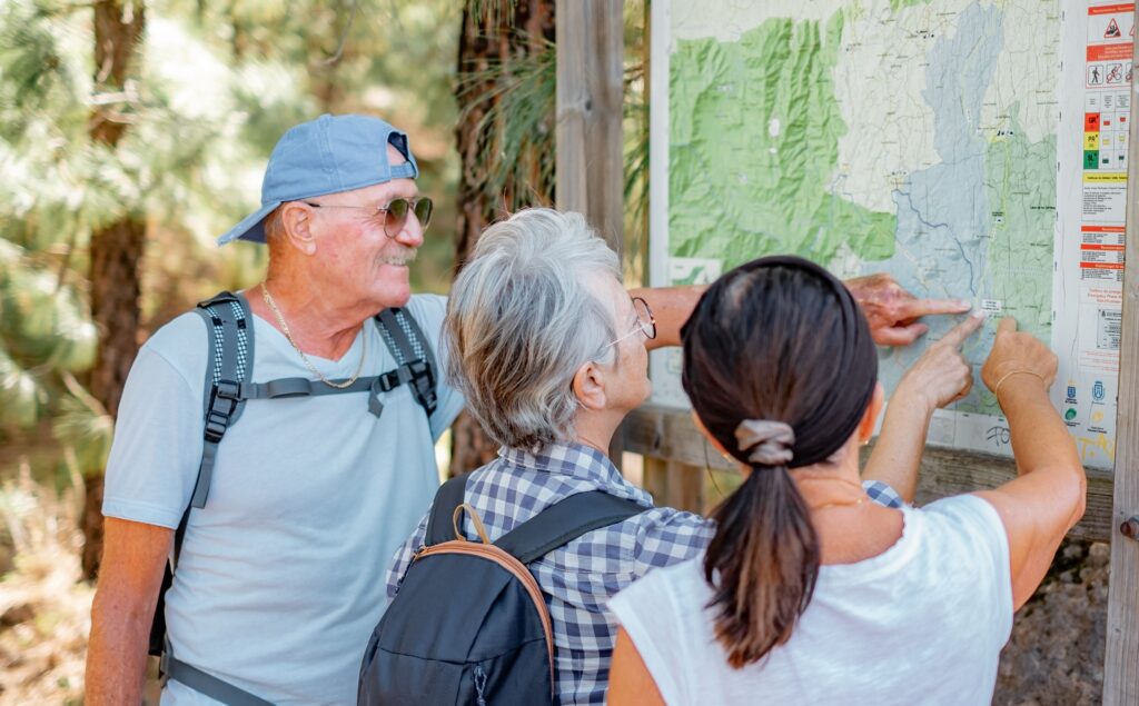
Key contributions of early exploration:
- Identification of river valleys suitable for wagon travel
- Discovery of mountain passes across western ranges
- Mapping of desert corridors for safe crossing
- Creation of early geographic sketches and travel notes
- Sharing route knowledge among trading and migration groups
California Trail Migration and Travel Conditions
Migration along the route increased markedly during the 1840s and 1850s. Wagon trains of families, farmers, traders and individual travelers moved west. These journeys before departure took months of travel and careful preparation.
Terrain and animal limitations made for slow wagon movement. Most wagons only traveled a short distance each day usually between 10 and 15 miles. Travelers often walked for long distances next to the wagons, particularly when the roads became rough or steep.
Gold Discovery and Mass Migration Movement
A major change in migration patterns occurred after gold was discovered in California. The news of the gold fields spread quickly, encouraging many to head west. It was a time of one of the biggest population shifts in American history.
The migration consisted of farmers, miners, traders and families. Some traveled in search of gold, others in search of farmland or new economic opportunities. In these years the route was very busy, with thousands of people passing each year.
Conditions of traveling were still very challenging Many emigrants met with severe weather, fatigue, disease and lack of supplies. Migration went on despite these dangers because of the strong economic incentive and the settlement possibilities.
California Trail Facts and Historical Impact
The California Trail facts show that the route was not only a migration path, but also a major factor in shaping the development of the West. Its effects were felt over a wide area of the country on settlement patterns, transportation systems and economic growth.
The trail linked eastern and western parts of the United States. It also promoted the development of settlements at important stopping places. These settlements later developed into important centers of trade and communication.
Portions of the trail have been replaced by railroads and highways. The original route still influences many modern lines of transport. Some of the geographic corridors that wagons once used still serve as roads and infrastructure today.
In some places you can still find physical evidence of the trail. You can see evidence of historic migration in the form of wagon ruts, carved markings and preserved paths. The results help scientists understand how visitors move around and what their days look like.